Quick Navigation
- The VASA Pathway: Traverse City's Crown Trail Network
- Boardman Lake Loop: Easy Miles Right in Town
- Pyramid Point Trail: The Best Lake Michigan View on Two Feet
- Power Island County Park: A Wilderness Hike Off the Bay
- Leelanau State Park: Hike to the Lighthouse
- Trail Quick-Reference: Five Hikes Near Traverse City
- Where to Stay Near Traverse City Trails
- Stay minutes from the trailheads
- Where to hike around Traverse City?
- How long is the Boardman Lake trail in Traverse City?
- Is God's Thumb a difficult hike?
- Are dogs allowed on the VASA Trail in Michigan?
- What is the best hike near Traverse City for beginners?
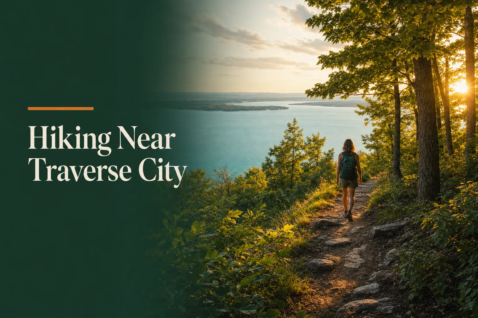
The hiking trails near Traverse City reward you far beyond what the town's small-city footprint might suggest. Within an hour's drive you can lap a glassy lake on a paved path, climb to a 280-foot bluff overlooking Lake Michigan, or paddle out to a forested island and circle its shoreline in near-total quiet. This guide walks through five trails worth building a trip around — with honest distances, difficulty levels, and what makes each one stand apart from the rest.
The VASA Pathway: Traverse City's Crown Trail Network
The VASA Pathway is the name locals give first when you ask about hiking near Traverse City, and for good reason. The trail system covers more than 20 miles of non-motorized track on the northeast side of town near Acme, winding through the Pere Marquette State Forest. You can pick a 2-mile loop for a quick morning out, or link segments together for a long half-day push through beech-maple forest and open meadows. In winter it doubles as the region's top Nordic ski venue; in summer it clears to a rolling, well-marked trail network that draws trail runners, hikers, and mountain bikers alike.
The trailhead sits off Bartlett Road, roughly 12 miles east of downtown TC. A Michigan DNR Recreation Passport is required to park. Dogs are welcome on a leash. Most of the terrain is gently rolling, with enough short climbs to make it interesting without grinding anyone down. Plan an hour for a short loop, three or more if you want to explore the full network.
The VASA Pathway takes its name from a famous 90-km cross-country ski race held in Sweden each year since 1922. Traverse City's version started in 1976 and now attracts thousands of Nordic skiers every February on the same trails you can hike all summer.
Boardman Lake Loop: Easy Miles Right in Town
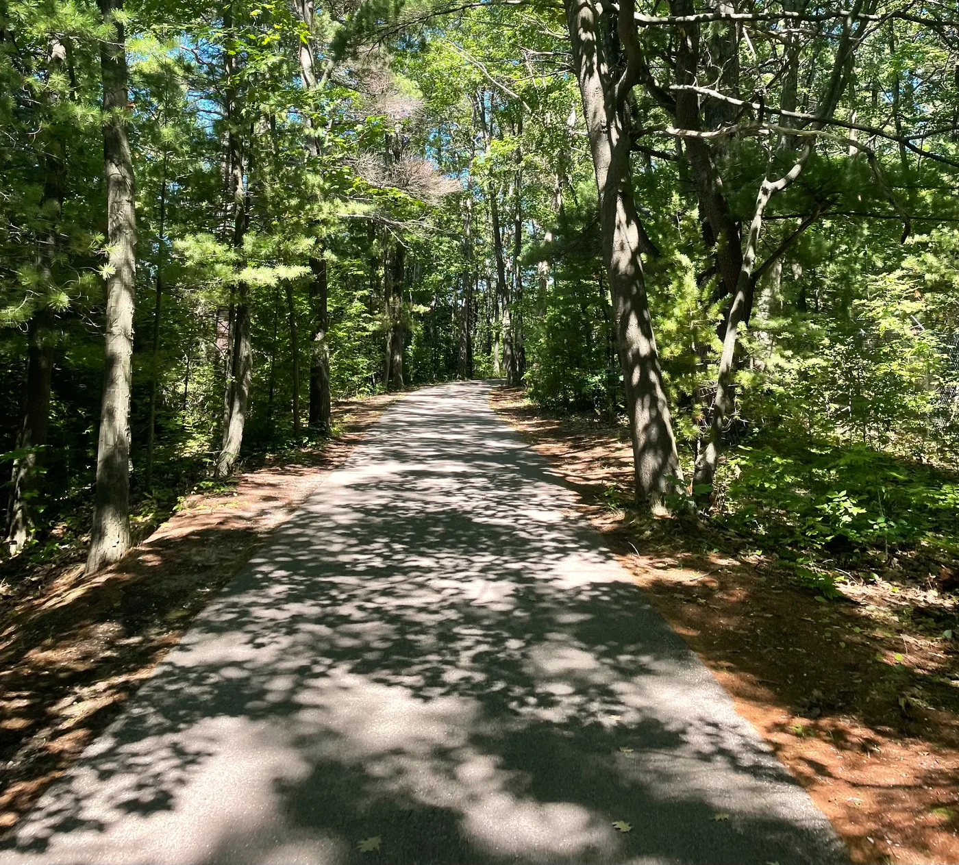
Not every great hike needs a trailhead an hour away. The Boardman Lake Loop wraps a clean 3-mile paved path around Boardman Lake, entirely within the city limits. It is the go-to morning walk for TC locals, and it works perfectly as an easy warm-up day or a family outing when the kids need a manageable distance. The path is flat, well-maintained, and passes through stretches of shade that make it pleasant even in midsummer heat.
You can join the loop from multiple access points — the parking area off Union Street is the most common. Allow about an hour at a relaxed pace. After finishing the loop, the downtown waterfront and the bay are a short walk north, making it easy to turn a trail morning into a full beach afternoon.
Early morning on the Boardman Lake Loop is special. The water is often glassy, anglers set up along the far bank, and you have the path almost entirely to yourself before 8 a.m.
Pyramid Point Trail: The Best Lake Michigan View on Two Feet
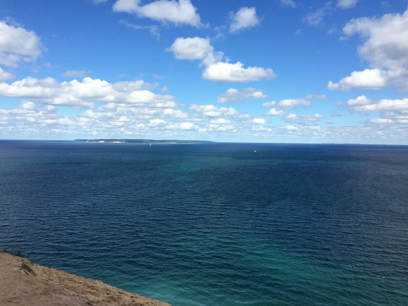
Pyramid Point sits inside Sleeping Bear Dunes National Lakeshore, about 40 minutes west of Traverse City near Glen Arbor. The trail is just 2.7 miles round trip, but it climbs a 280-foot sand-and-hardwood bluff to deliver one of the most dramatic Lake Michigan panoramas in the entire park. The Manitou Islands float on the horizon, the blue-green water stretches below you, and on the right day you can see the curve of the shoreline in both directions. This is a shorter and often less crowded alternative to the famous Dune Climb, and many hikers consider the view superior.
The trailhead is on Port Oneida Road. Expect steady uphill for most of the outbound half, but nothing technical. Regular walking shoes handle it fine outside of mud season. The same Sleeping Bear Dunes park pass covers Pyramid Point — one entry fee unlocks the whole lakeshore.
Unlike the Dune Climb, Pyramid Point stays on forest floor and packed earth the whole way — easier footing, same stunning payoff at the top. The elevation profile looks steep but the footing is solid the entire way up.
Power Island County Park: A Wilderness Hike Off the Bay
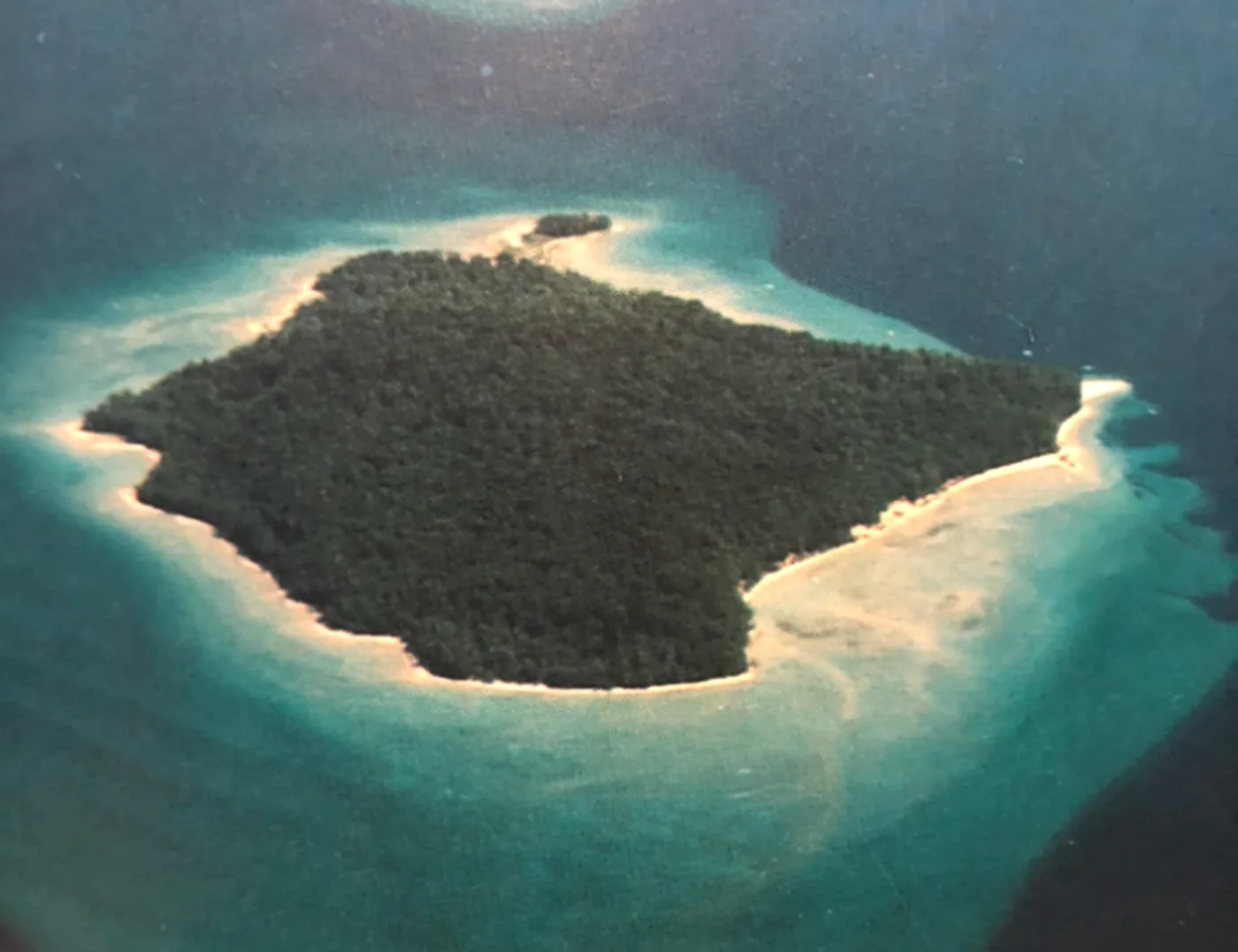
Power Island is a 200-acre county park set entirely in Grand Traverse Bay, accessible only by non-motorized watercraft or private boat. The crossing from Bower's Harbor on the Old Mission Peninsula is about 2.5 miles. Once you land, roughly 2 miles of trail circle the wooded interior of the island, and the sandy beaches around the perimeter are yours to explore freely. There are no facilities beyond pit toilets, no crowds to speak of, and a quality of silence that is hard to find this close to a city. Primitive camping is permitted with a reservation from Grand Traverse County Parks.
This trip requires planning. You need a kayak, canoe, or a friend with a boat. Winds on the bay can shift quickly on a summer afternoon, so an early start and a check of the forecast are both worth the effort. The payoff is a full wilderness-feel experience less than 10 miles from downtown Traverse City.
Leelanau State Park: Hike to the Lighthouse
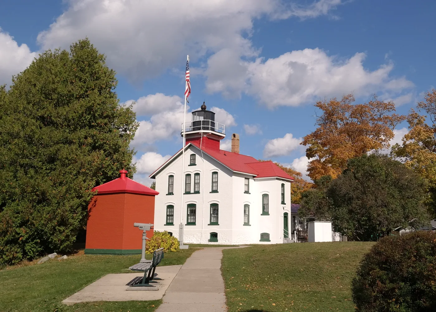
Leelanau State Park occupies the northern tip of the Leelanau Peninsula, about 45 minutes from Traverse City. Its 1,300 acres include roughly 8 miles of trail that wind through hardwood forest, cross low sand ridges, and deliver you to the Grand Traverse Lighthouse — a working light station established in 1852 and now operated as a museum. The lighthouse sits at "Land's End," where Lake Michigan narrows to a channel between the mainland and the Beaver Island archipelago. On a clear day you can see the water on three sides.
The park is family-friendly and sees fewer visitors than the more famous spots to the south. The trails are mostly level with gentle rolls, and the lighthouse is a tangible destination that gives kids a reason to keep moving. Allow two to three hours to walk the longer trail loops and spend time at the museum if it is open. A Michigan DNR Recreation Passport is required at the trailhead.
The Grand Traverse Lighthouse has marked the tip of the Leelanau Peninsula since 1852 — one of the oldest light stations on the Great Lakes. It guided ships safely around the dangerous shoals until automation in 1972, then sat dormant before volunteers restored it fully starting in the 1980s.
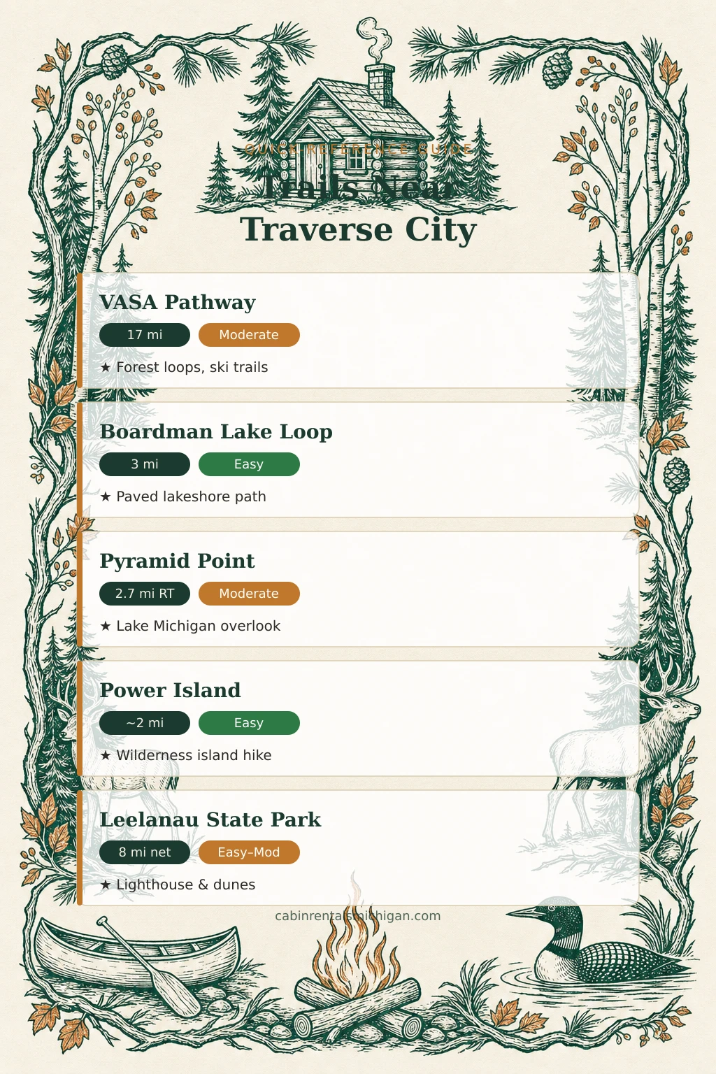
Trail Quick-Reference: Five Hikes Near Traverse City
Use this table to match a trail to your group's pace and priorities.
| Trail | Distance | Difficulty | Drive from TC | Best for |
|---|---|---|---|---|
| VASA Pathway | 20+ mi network | Moderate–Strenuous | ~20 min | Runners, cyclists, long-day hikers |
| Boardman Lake Loop | 3 mi | Easy | In town | Families, casual walkers |
| Pyramid Point | 2.7 mi RT | Moderate | ~40 min | Views, shorter day hike |
| Power Island | ~2 mi | Easy | ~15 min drive + 2.5 mi paddle | Paddlers, campers, solitude-seekers |
| Leelanau State Park | 8 mi network | Easy–Moderate | ~45 min | Families, lighthouse fans |
Watch: Scenic Views & Endless Trails — Hiking in Traverse City
Traverse City Tourism offers an aerial and ground-level look at the region's best hiking and walking routes.

Where to Stay Near Traverse City Trails
All five trails are reachable as day trips from a cabin in the TC area. For the VASA Pathway and Boardman Lake Loop, you are practically already there. For Pyramid Point and Leelanau State Park, plan for a 40-to-45-minute drive. The cabins below are the top-rated options near Traverse City, ranked by guest scores.
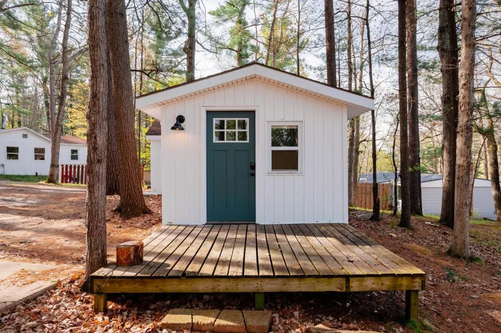
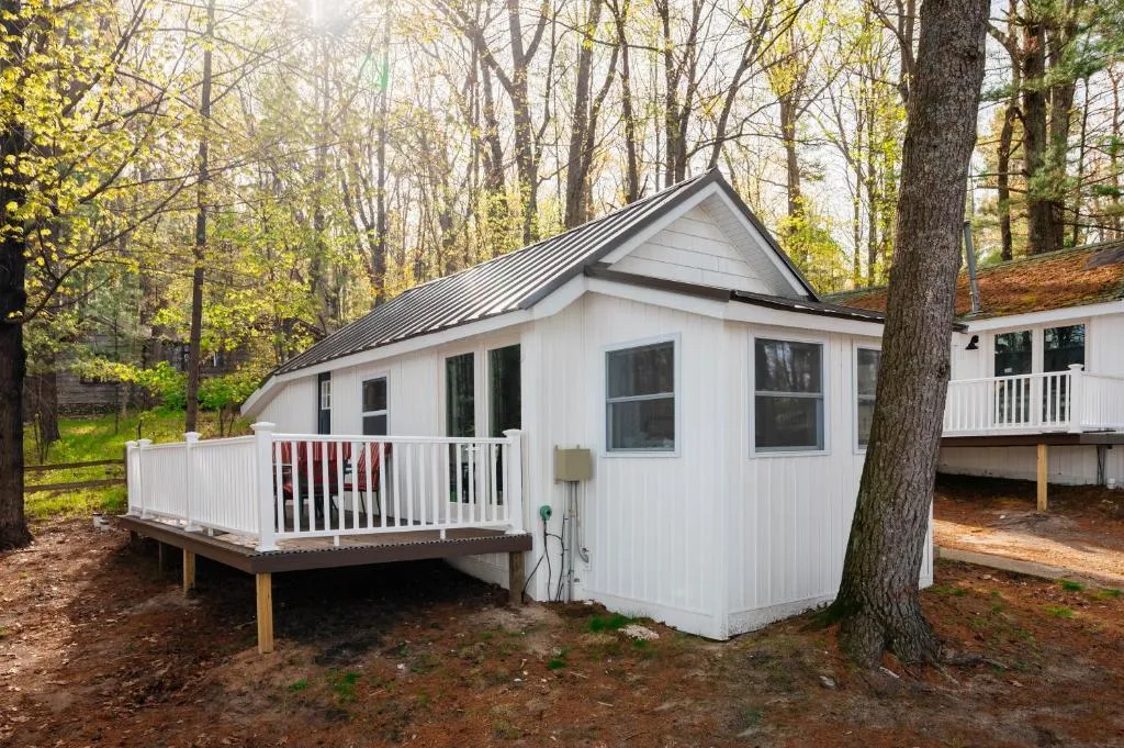
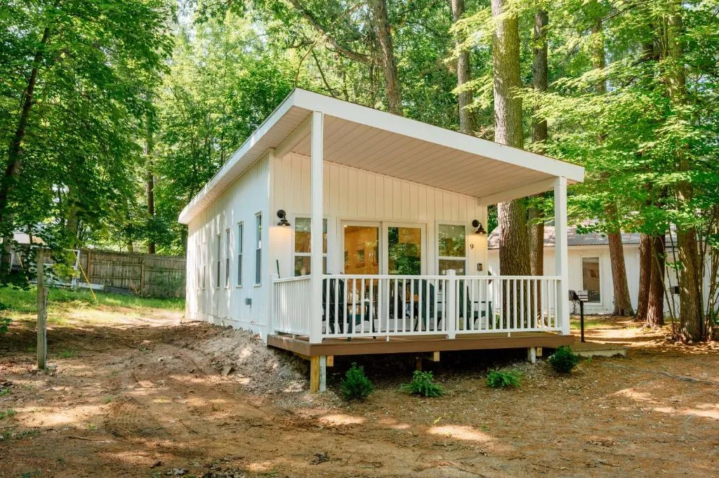
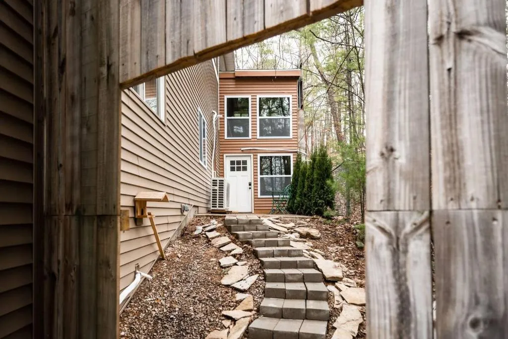
Stay minutes from the trailheads
Verified cabins near Traverse City's best hiking trails, all deep-linked to live availability on Booking.com.
Browse cabins near Traverse City trails →Looking for more ways to fill your days between hikes? Our Traverse City local guide covers the bay beaches, wineries, and dining options you can fit around a trail day. Find more routes in the outdoor adventures section of the blog.
Where to hike around Traverse City?
The VASA Pathway (20+ miles of network trail near Acme), the Boardman Lake Loop (3 miles in town), and Pyramid Point in Sleeping Bear Dunes (40 min west) are the top three starting points. Power Island and Leelanau State Park round out the list.
How long is the Boardman Lake trail in Traverse City?
The Boardman Lake Loop is approximately 3 miles around the full shoreline. At a relaxed walking pace, most people finish in about an hour. The trail is paved and flat, making it suitable for strollers and all fitness levels.
Is God's Thumb a difficult hike?
God's Thumb, near Glen Arbor in Sleeping Bear Dunes National Lakeshore, is rated moderate and covers about 1.5 miles round trip. The final stretch to the Lake Michigan overlook involves a steep climb, but the total distance keeps it manageable for most hikers.
Are dogs allowed on the VASA Trail in Michigan?
Yes. Dogs are welcome on the VASA Pathway when kept on a leash. The wide groomed trail surface makes it comfortable for dogs of all sizes. Bring waste bags and plenty of water, especially during summer months when the trail can get warm in open meadow sections.
What is the best hike near Traverse City for beginners?
The Boardman Lake Loop is the easiest option: 3 miles, fully paved, no elevation gain, and right in town. For beginners who want a view, Pyramid Point at 2.7 miles round trip offers a rewarding overlook without the grueling sand slog of the Dune Climb.
- VASA Pathway — Michigan's official tourism guide: michigan.org
- Pyramid Point Trail — NPS Sleeping Bear Dunes National Lakeshore: nps.gov
- Power Island County Park — Grand Traverse County Parks and Recreation
- Leelanau State Park — Michigan official tourism guide: michigan.org
- Grand Traverse Lighthouse Museum: grandtraverselighthouse.com