Quick Navigation
- The Full Route: Lake Huron to Petoskey
- Boating Burt and Mullett Lakes
- Paddling the Indian River Channel
- Boat Rentals, Launches, and Marinas
- Fishing the Waterway
- Where to Stay on the Inland Waterway
- Stay on the Inland Waterway
- Frequently Asked Questions
- What is the Michigan Inland Waterway?
- How long does it take to boat the Michigan Inland Waterway?
- Can you boat from Burt Lake to Mullett Lake, Michigan?
- Can you boat from Mullett Lake to Lake Huron?
- What kind of fish are in Mullett Lake?
- What is Indian River, Michigan known for?
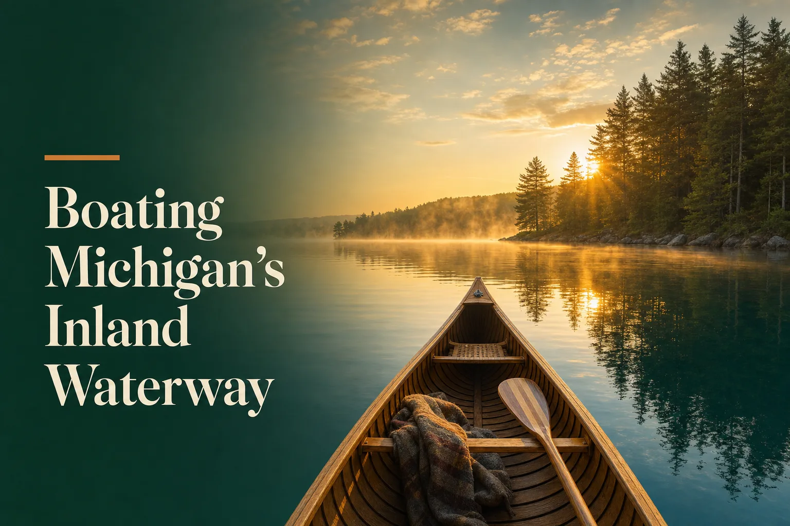
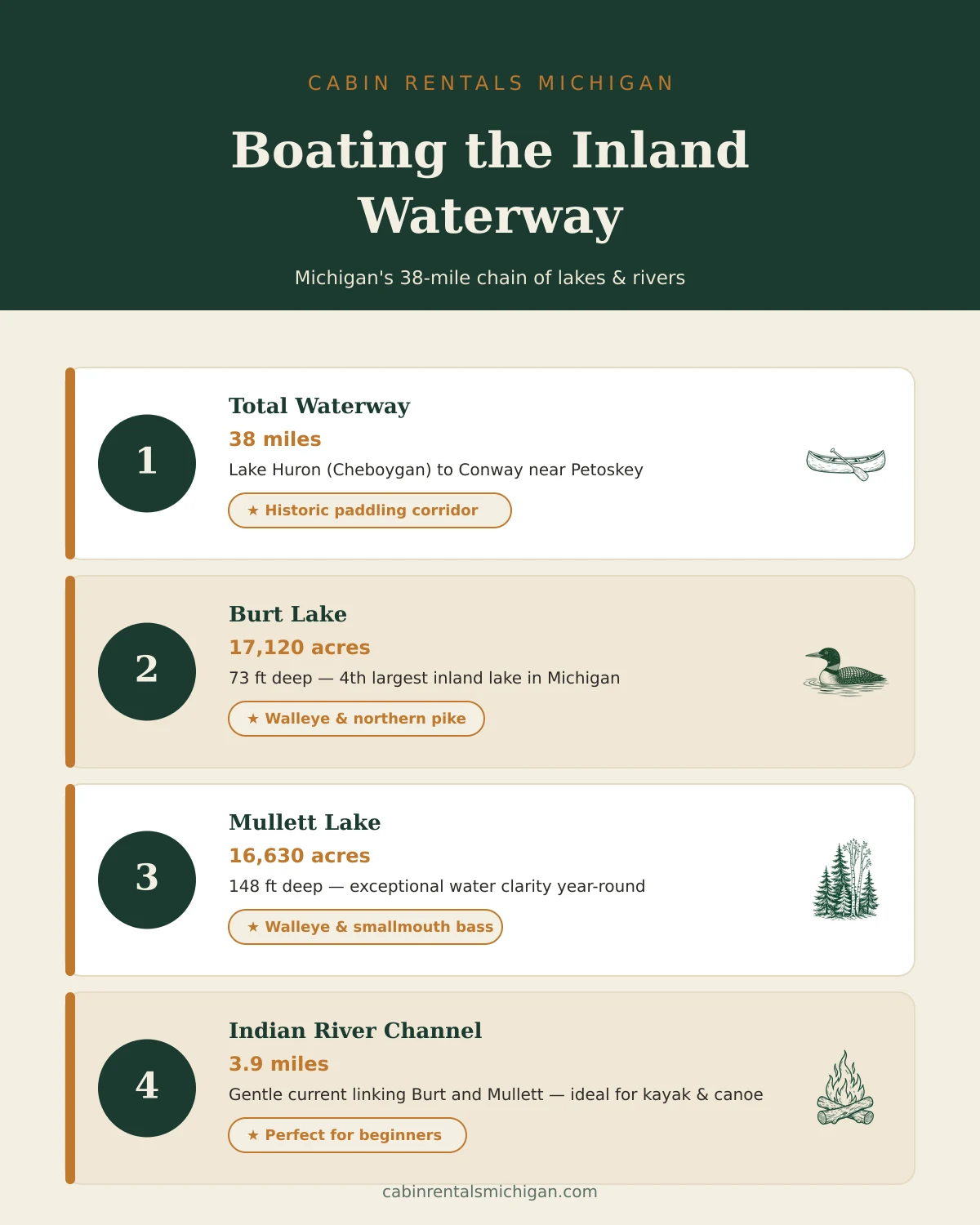
If Michigan inland waterway boating is on your radar, you have found one of the quietest great adventures in the Midwest. A 38-mile chain of lakes and rivers threads across the northern Lower Peninsula from Cheboygan on Lake Huron to Conway near Petoskey, linking Mullett Lake, the Indian River channel, Burt Lake, and Crooked Lake in a single navigable corridor. You can cover the whole route in a day on a fast powerboat, or spread it across a long weekend by kayak and barely touch the same water twice. Either way, this stretch of northern Michigan is far less crowded than the Sleeping Bear Dunes scene to the west and far more varied than any single lake. For a deeper look at the waterway's history and the town of Indian River itself, see our Indian River town guide. This guide covers the practical side: which vessels belong where, where to rent or launch, the best paddling stretches, and how to plan a multi-day trip. More Lakes & Beaches guides are in our dedicated category.
The Full Route: Lake Huron to Petoskey
The Michigan Inland Waterway passes through five connected bodies of water: the Cheboygan River (from Lake Huron into Mullett Lake), Mullett Lake, the Indian River channel linking Mullett to Burt Lake, Burt Lake, and the Crooked River and Crooked Lake system continuing west toward Conway. Two sets of navigational locks manage the elevation changes: the Cheboygan lock on the eastern end and the Alanson lock on the Crooked River between Crooked Lake and Burt Lake. The locks accommodate vessels up to roughly 60 feet in length, so anything from a 14-foot aluminum runabout to a modest cruiser can make the full transit.
Navigation season runs from roughly mid-April through late October, depending on ice-out and lock staffing. Summer weekends — especially from mid-June through Labor Day — bring the most traffic on the anchor lakes. If you can schedule a midweek trip, Burt and Mullett both feel surprisingly private. Early mornings are the calmest: glassy water, minimal wakes, and a better chance of seeing loons before the powerboats arrive.
Boating Burt and Mullett Lakes
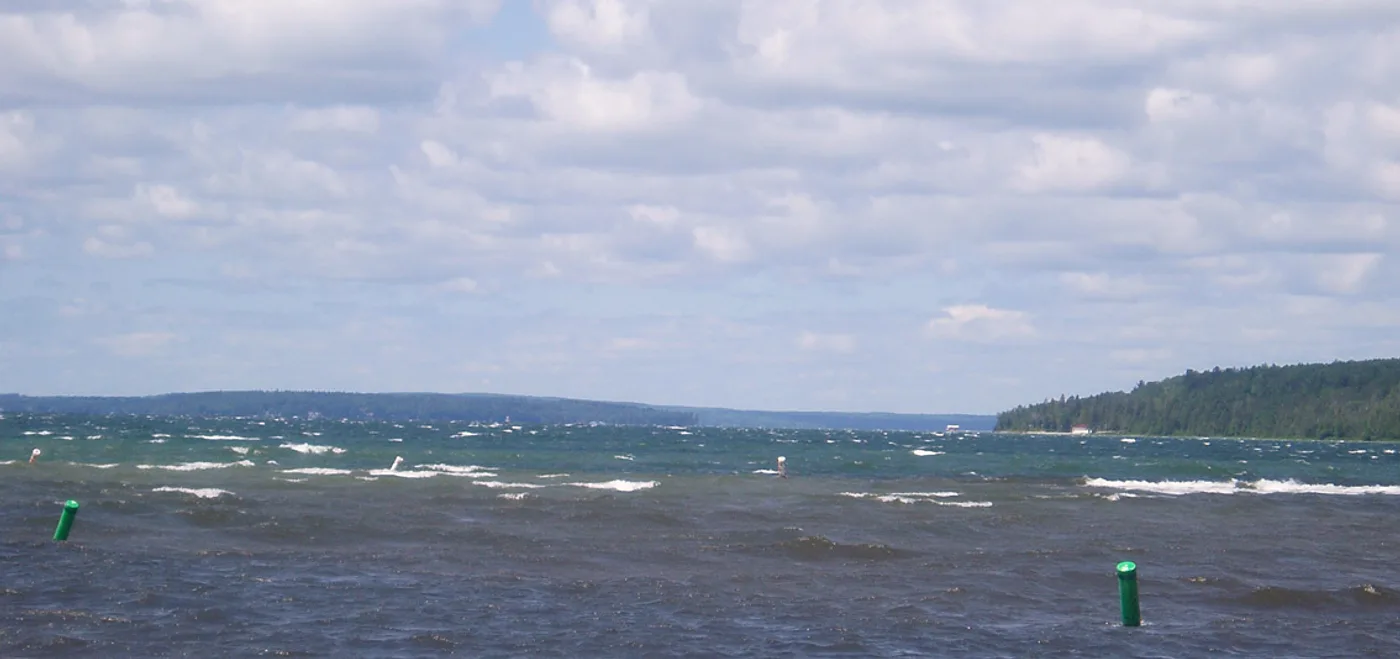
Burt Lake at 17,120 acres and Mullett Lake at 16,630 acres are the two anchor bodies of the waterway — Michigan's fourth and fifth largest inland lakes, respectively. Both are large enough for serious powerboating and sailing — open basins with depths well over 70 feet and enough fetch that a stiff southwesterly can build a real chop on summer afternoons. At the same time, both lakes have sheltered coves and bay areas where a pontoon crew can spend a relaxed afternoon without fighting wakes.
Burt Lake runs roughly northwest to southeast. The eastern shore holds Burt Lake State Park, which has a maintained public launch ramp and a sandy swimming beach — a reliable rest point whether you are boating through or parked for the day. The western end of the lake near the town of Brutus has the Burt Lake Marina, with fuel, dock slips, and some equipment service for boaters passing through. Mullett Lake connects to Lake Huron via the Cheboygan River navigational lock on its northeast end. A full-day boater with time to spare can lock through at Cheboygan and run north to the Straits of Mackinac, roughly 17 miles up the coast. Most people do not, but it is possible and worth knowing about.
Paddling the Indian River Channel
The Indian River channel — the 3.9-mile stretch of moving water between Burt Lake and Mullett Lake — is the paddling centerpiece of the entire waterway. The current is gentle enough that beginners rarely struggle, but there is enough flow to let you drift on a canoe in either direction without serious effort. The channel passes through the town of Indian River itself, with easy pull-outs near the M-68 bridge for lunch or a café stop.
Most paddlers put in at the public canoe launch off M-68 near the south end of town and float east toward Mullett Lake. The return trip, paddling west back toward Burt Lake, is straightforward — the current is mild and the distance (just under four miles) is short enough that even less experienced paddlers rarely get worn out. If you are planning a point-to-point paddle, most local liveries will shuttle a car to the far end so you do not have to double back.
Stand-up paddleboards are popular on the channel in calm conditions, though the motorboat wakes from the anchor lake traffic can catch beginners off guard. Kayaks and canoes remain the traditional and safest choice. In the mornings before boat traffic increases, the channel is almost silent. The shoreline alternates between cattail marsh, riverside woods, and private docks with fishing boats tied up overnight.
Boat Rentals, Launches, and Marinas
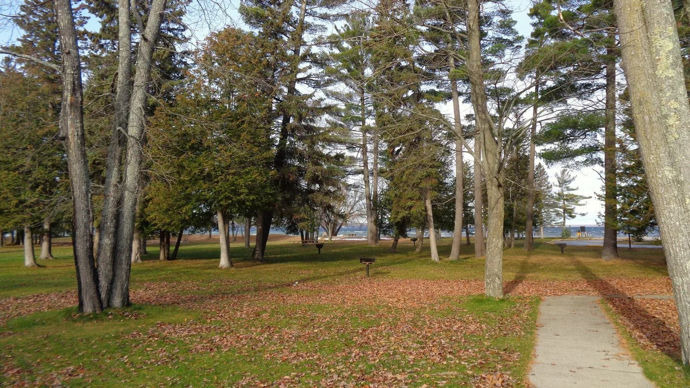
Getting on the water is straightforward along most of the waterway. The key access points are:
Burt Lake State Park launch — free with a Michigan Recreation Passport, well-maintained ramp, ample trailer parking. Located off US-27 on the eastern shore of Burt Lake.
Indian River public canoe launch — off M-68 near the town center, suitable for kayaks and canoes only. Free street parking nearby.
Mullett Lake township ramps — several access points around the lake; the Topinabee waterfront area on the western shore has docks and fuel for boats in transit.
Burt Lake Marina — near Devoe Beach on Burt Lake's western end; gas dock, boat slips, and equipment service for vessels passing through the waterway.
Rental options in Indian River include canoes, kayaks, and tubes from local liveries, typically by the half-day or full day. Pontoon and powerboat rentals are available through Burt Lake Marina and a small number of charter operators. June is the busiest rental month — call ahead rather than hoping for walk-up availability on a summer Friday.
Fishing the Waterway
The Inland Waterway chain is a genuine walleye destination in the northern Lower Peninsula. Burt Lake's weedy bays and shallower margins produce walleye, northern pike, and largemouth bass through the open-water season. Mullett Lake runs deeper and cooler, with a maximum depth of 148 feet. It has historically supported lake trout, and the species is present, though the DNR notes that oxygen levels in deeper water can be marginal for trout in warmer years. Walleye and smallmouth bass are the more reliably productive targets.
The Indian River channel holds smallmouth bass, panfish, and the occasional large pike in the slower pools near the bridge crossings. These fish tend to sit tight against structure — docks, logs, bridge abutments — and respond well to finesse presentations early in the morning.
Ice fishing is a winter constant on both anchor lakes. Burt Lake in particular is considered one of the area's best-kept walleye ice-fishing destinations. Ice typically forms by late December and holds through February in a normal northern Michigan winter. A Michigan fishing license is required for anglers 17 and older; a trout and salmon stamp is needed for Mullett Lake's lake trout fishery. Check the Michigan DNR for current size limits and seasonal rules before you go.
Where to Stay on the Inland Waterway
Indian River sits at the center of the waterway chain, putting you within easy reach of both anchor lakes and the paddling corridor between them. The town is small and quiet — the draw is the water access, not nightlife — which makes it a good base for anyone who actually plans to spend most of the day on the water rather than in town. A cabin within a few miles of the public launch or the marina can cut your drive-to-water time to almost nothing.
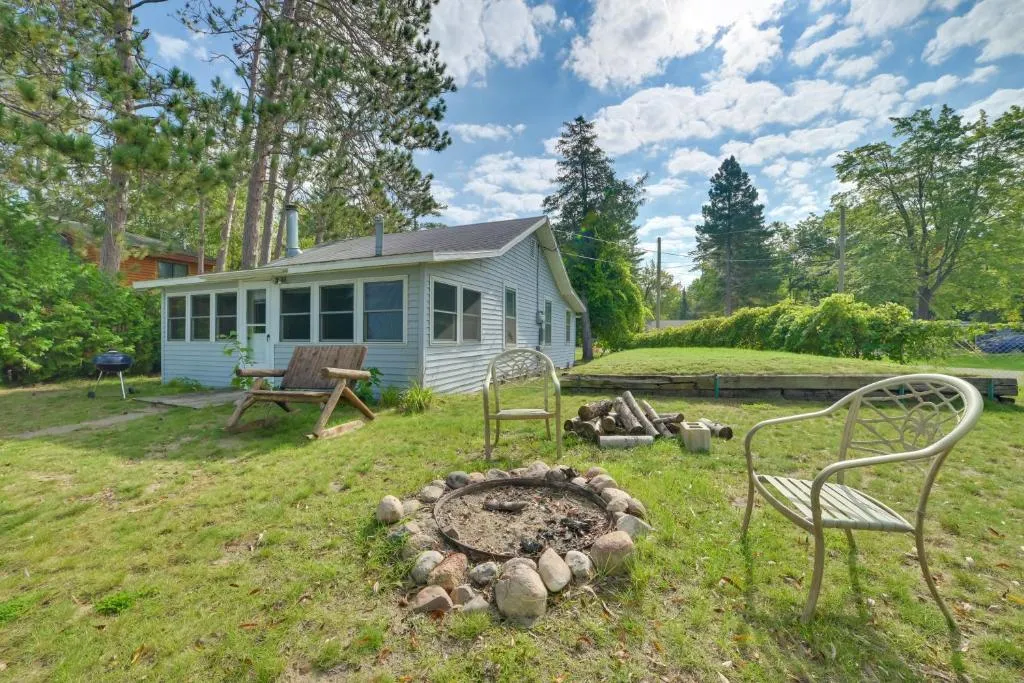
Stay on the Inland Waterway
Browse lakefront and waterway-access properties and wake up steps from the chain of lakes.
View waterfront cabins in Indian RiverFrequently Asked Questions
What is the Michigan Inland Waterway?
The Michigan Inland Waterway is a 38-mile navigable chain of rivers and lakes in the northern Lower Peninsula, stretching from Cheboygan on Lake Huron to Conway near Petoskey. It links Mullett Lake, the Indian River channel, Burt Lake, Crooked Lake, and the Crooked River in one continuous corridor, managed by two navigational locks.
How long does it take to boat the Michigan Inland Waterway?
By powerboat at a comfortable cruise speed, the full 38-mile route takes roughly half a day, including lock time at Cheboygan and Alanson. A kayaker or canoeist paddling the full length typically needs two to three days, camping or staying overnight along the route.
Can you boat from Burt Lake to Mullett Lake, Michigan?
Yes. The Indian River channel, about 3.9 miles long, directly connects Burt Lake and Mullett Lake. It carries motorboat and paddlecraft traffic and requires no locks. Most small to mid-size powerboats, kayaks, canoes, and pontoons can transit the channel without issue.
Can you boat from Mullett Lake to Lake Huron?
Yes. The Cheboygan River exits the northeast corner of Mullett Lake and leads to the Cheboygan navigational lock. Past the lock, the river continues into downtown Cheboygan and opens into Lake Huron. The Straits of Mackinac are roughly 17 miles north from there.
What kind of fish are in Mullett Lake?
Mullett Lake holds walleye, lake trout, smallmouth bass, northern pike, and panfish. Its depth — up to 120 feet — and exceptional water clarity make it one of the few places in the Lower Peninsula where lake trout are consistently caught by recreational anglers.
What is Indian River, Michigan known for?
Indian River is best known as the gateway to the Michigan Inland Waterway. Sitting between Burt and Mullett Lakes on the Indian River channel, it is the main launch and service hub for boaters, kayakers, and anglers exploring the waterway chain.
Sources
- Michigan DNR — Burt Lake State Park information and launch details (michigan.gov/dnr)
- Michigan DNR — Fishing regulations and license requirements (michigan.gov/dnr)
- Cheboygan County — Inland Waterway navigation and lock information (cheboygancounty.net)